 IMAS Metadata Catalogue
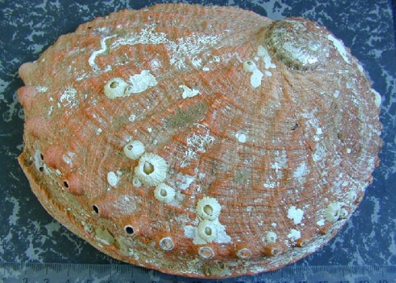
Haliotis rubra
Type of resources
Topics
Keywords
Contact for the resource
Provided by
Years
-
The principle aim of this project was to map the fine-scale spatial distribution of key abalone habitat impacted by urchins in < 25 m water depth using multibeam acoustic imagery. Detailed substrate type (Pavement Reef, Megaclast Reef, Mixed Consolidated Sediment/Reef and Sand), and kelp coverage maps have been produced for the east coast of Tasmania. Large urchin barrens have been predicted and the minimum quantifiable unit of which small incipient barrens can be detected has been identified using this acoustic water column technique. This data provides a snapshot of the 2021 distribution of seafloor habitats and associated vegetation distribution, and will assist in the facilitation of strategic decision making for urchin control and abalone management. Data for download has been split by fishing block (22-24, 27-30). This record describes *FISHING BLOCK 28*. The following data products are available for download, for each fishing block: • 50cm resolution bathymetry • 50cm resolution substrate type (Seamap Australia classification) • bathymetry derivatives (seabed slope, curvature, rugosity, 1 and 2m contours) • water column data - 1m mean signal • water column data - 9m2 raw block statistic • water column data - vegetation likelihood classification See associated records for access to data from other fishing blocks (22, 23, 24, 27, 29, 30).
-
The principle aim of this project was to map the fine-scale spatial distribution of key abalone habitat impacted by urchins in < 25 m water depth using multibeam acoustic imagery. Detailed substrate type (Pavement Reef, Megaclast Reef, Mixed Consolidated Sediment/Reef and Sand), and kelp coverage maps have been produced for the east coast of Tasmania. Large urchin barrens have been predicted and the minimum quantifiable unit of which small incipient barrens can be detected has been identified using this acoustic water column technique. This data provides a snapshot of the 2021 distribution of seafloor habitats and associated vegetation distribution, and will assist in the facilitation of strategic decision making for urchin control and abalone management. Data for download has been split by fishing block (22-24, 27-30). This record describes *FISHING BLOCK 30*. The following data products are available for download, for each fishing block: • 50cm resolution bathymetry • 50cm resolution substrate type (Seamap Australia classification) • bathymetry derivatives (seabed slope, curvature, rugosity, 1 and 2m contours) • water column data - 1m mean signal • water column data - 9m2 raw block statistic • water column data - vegetation likelihood classification See associated records for access to data from other fishing blocks (22, 23, 24, 27, 28, 29).
-
The principle aim of this project was to map the fine-scale spatial distribution of key abalone habitat impacted by urchins in < 25 m water depth using multibeam acoustic imagery. Detailed substrate type (Pavement Reef, Megaclast Reef, Mixed Consolidated Sediment/Reef and Sand), and kelp coverage maps have been produced for the east coast of Tasmania. Large urchin barrens have been predicted and the minimum quantifiable unit of which small incipient barrens can be detected has been identified using this acoustic water column technique. This data provides a snapshot of the 2021 distribution of seafloor habitats and associated vegetation distribution, and will assist in the facilitation of strategic decision making for urchin control and abalone management. Data for download has been split by fishing block (22-24, 27-30). This record describes *FISHING BLOCK 23*. The following data products are available for download, for each fishing block: • 50cm resolution bathymetry • 50cm resolution substrate type (Seamap Australia classification) • bathymetry derivatives (seabed slope, curvature, rugosity, 1 and 2m contours) • water column data - 1m mean signal • water column data - 9m2 raw block statistic • water column data - vegetation likelihood classification See associated records for access to data from other fishing blocks (22, 24, 27, 28, 29, 30).
-
The principle aim of this project was to map the fine-scale spatial distribution of key abalone habitat impacted by urchins in < 25 m water depth using multibeam acoustic imagery. Detailed substrate type (Pavement Reef, Megaclast Reef, Mixed Consolidated Sediment/Reef and Sand), and kelp coverage maps have been produced for the east coast of Tasmania. Large urchin barrens have been predicted and the minimum quantifiable unit of which small incipient barrens can be detected has been identified using this acoustic water column technique. This data provides a snapshot of the 2021 distribution of seafloor habitats and associated vegetation distribution, and will assist in the facilitation of strategic decision making for urchin control and abalone management. Data for download has been split by fishing block (22-24, 27-30). This record describes *FISHING BLOCK 22*. The following data products are available for download, for each fishing block: • 50cm resolution bathymetry • 50cm resolution substrate type (Seamap Australia classification) • bathymetry derivatives (seabed slope, curvature, rugosity, 1 and 2m contours) • water column data - 1m mean signal • water column data - 9m2 raw block statistic • water column data - vegetation likelihood classification See associated records for access to data from other fishing blocks (23, 24, 27, 28, 29, 30).
-
The principle aim of this project was to map the fine-scale spatial distribution of key abalone habitat impacted by urchins in < 25 m water depth using multibeam acoustic imagery. Detailed substrate type (Pavement Reef, Megaclast Reef, Mixed Consolidated Sediment/Reef and Sand), and kelp coverage maps have been produced for the east coast of Tasmania. Large urchin barrens have been predicted and the minimum quantifiable unit of which small incipient barrens can be detected has been identified using this acoustic water column technique. This data provides a snapshot of the 2021 distribution of seafloor habitats and associated vegetation distribution, and will assist in the facilitation of strategic decision making for urchin control and abalone management. Data for download has been split by fishing block (22-24, 27-30). This record describes *FISHING BLOCK 27*. The following data products are available for download, for each fishing block: • 50cm resolution bathymetry • 50cm resolution substrate type (Seamap Australia classification) • bathymetry derivatives (seabed slope, curvature, rugosity, 1 and 2m contours) • water column data - 1m mean signal • water column data - 9m2 raw block statistic • water column data - vegetation likelihood classification See associated records for access to data from other fishing blocks (22, 23, 24, 28, 29, 30).
-
The principle aim of this project was to map the fine-scale spatial distribution of key abalone habitat impacted by urchins in < 25 m water depth using multibeam acoustic imagery. Detailed substrate type (Pavement Reef, Megaclast Reef, Mixed Consolidated Sediment/Reef and Sand), and kelp coverage maps have been produced for the east coast of Tasmania. Large urchin barrens have been predicted and the minimum quantifiable unit of which small incipient barrens can be detected has been identified using this acoustic water column technique. This data provides a snapshot of the 2021 distribution of seafloor habitats and associated vegetation distribution, and will assist in the facilitation of strategic decision making for urchin control and abalone management. Data for download has been split by fishing block (22-24, 27-30). This record describes *FISHING BLOCK 29*. The following data products are available for download, for each fishing block: • 50cm resolution bathymetry • 50cm resolution substrate type (Seamap Australia classification) • bathymetry derivatives (seabed slope, curvature, rugosity, 1 and 2m contours) • water column data - 1m mean signal • water column data - 9m2 raw block statistic • water column data - vegetation likelihood classification See associated records for access to data from other fishing blocks (22, 23, 24, 27, 28, 30).
-
The principle aim of this project was to map the fine-scale spatial distribution of key abalone habitat impacted by urchins in < 25 m water depth using multibeam acoustic imagery. Detailed substrate type (Pavement Reef, Megaclast Reef, Mixed Consolidated Sediment/Reef and Sand), and kelp coverage maps have been produced for the east coast of Tasmania. Large urchin barrens have been predicted and the minimum quantifiable unit of which small incipient barrens can be detected has been identified using this acoustic water column technique. This data provides a snapshot of the 2021 distribution of seafloor habitats and associated vegetation distribution, and will assist in the facilitation of strategic decision making for urchin control and abalone management. All spatial datasets and derivatives of the have been uploaded onto the Seamap Australia data portal for visualisation as a resource for both managers and scientists for further analysis and study. Data packages have been split by fishing block (22-24, 27-30) and are available to download from each of the 'child' records linked to this record (below).
-
The principle aim of this project was to map the fine-scale spatial distribution of key abalone habitat impacted by urchins in < 25 m water depth using multibeam acoustic imagery. Detailed substrate type (Pavement Reef, Megaclast Reef, Mixed Consolidated Sediment/Reef and Sand), and kelp coverage maps have been produced for the east coast of Tasmania. Large urchin barrens have been predicted and the minimum quantifiable unit of which small incipient barrens can be detected has been identified using this acoustic water column technique. This data provides a snapshot of the 2021 distribution of seafloor habitats and associated vegetation distribution, and will assist in the facilitation of strategic decision making for urchin control and abalone management. Data for download has been split by fishing block (22-24, 27-30). This record describes *FISHING BLOCK 24*. The following data products are available for download, for each fishing block: • 50cm resolution bathymetry • 50cm resolution substrate type (Seamap Australia classification) • bathymetry derivatives (seabed slope, curvature, rugosity, 1 and 2m contours) • water column data - 1m mean signal • water column data - 9m2 raw block statistic • water column data - vegetation likelihood classification See associated records for access to data from other fishing blocks (22, 23, 27, 28, 29, 30).
-
Annotations of Centrostephanus rogersii sea urchin barrens derived from towed video at selected key abalone blocks along the east coast of Tasmania. The purpose of the study was to examine the patch dynamics of urchin barrens and to provide validation for the identification of urchin barrens from multibeam surveys.
-
The abalone commercial catch sampling project contains length-based samples from diver catches collected in Tasmania waters.